Now Worries, below are some helpful links to find new events or experiences.


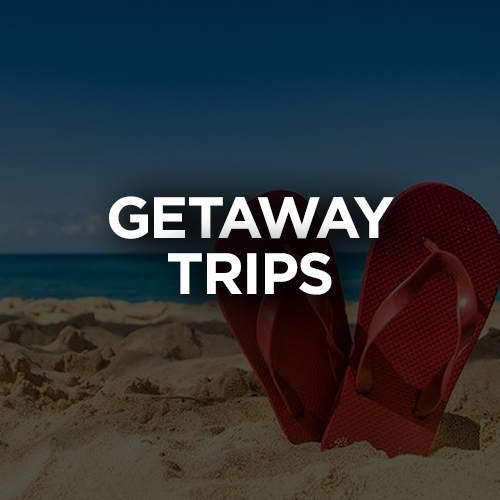


Your #1 Travel & Event Calendar & Party Guide of local Parties, Concerts, Sporting Events, Concerts, Music Festivals, Getaway Trips, Activities, Excursions, and exciting Things to do in a city near you!
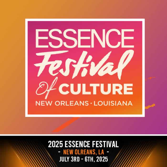
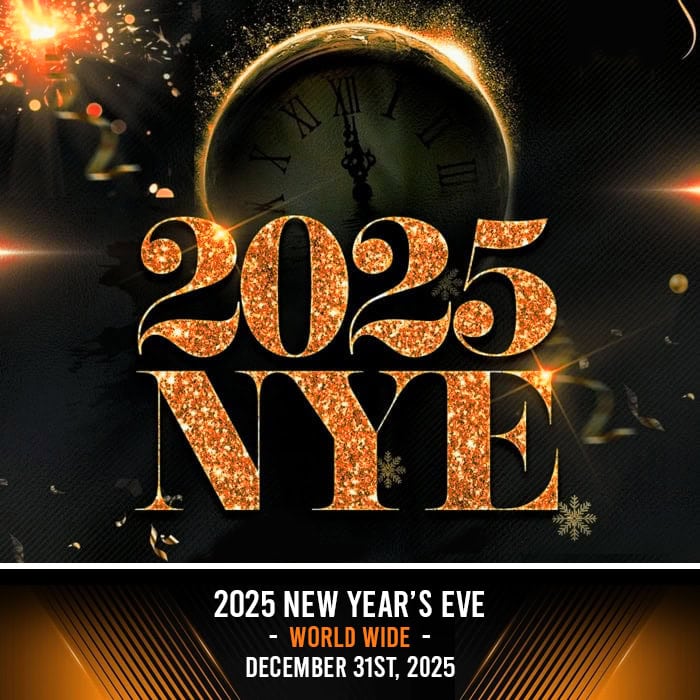
Top Destinations
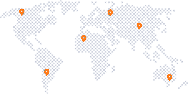
Our Footprint